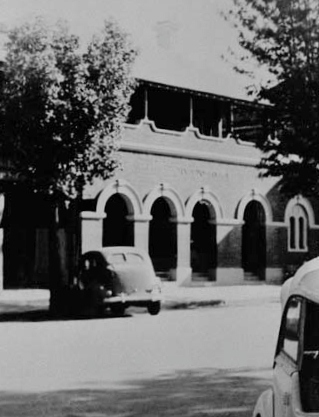
The Family Trip To Tumut
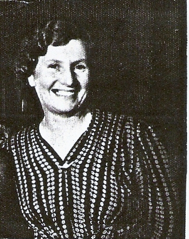
On the 27th December, 1950 Sydney and Jean Florence Stephenson
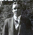
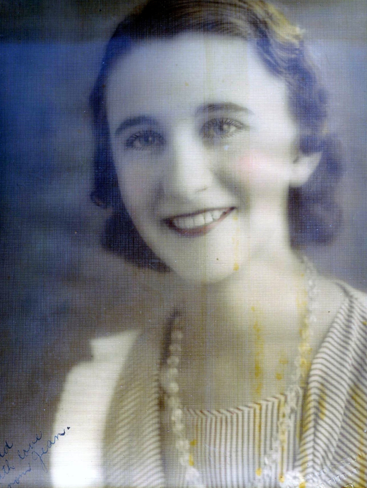
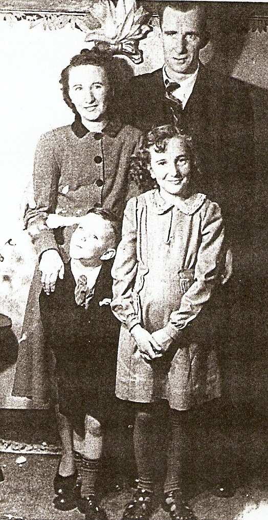
with their children Lynette and John relocated from 128 Moorefields Road, Kingsgrove, Sydney
On the 27th December, 1950 Sydney and Jean Florence Stephenson
with their children Lynette and John relocated from 128 Moorefields Road, Kingsgrove, Sydney
The Hume is National 31 from Sydney to Albury. It is the shortest road between Sydney and Melbourne. The main alternative route is the Princes Highway which goes via the coast rather than inland.
At its Sydney end, the Hume Highway begins at the Great Western Highway (known at this point as Parramatta Road, in Summer Hill. The first 35 km of the highway was known as Liverpool Road until August 1928, when it was renamed as part of the Hume or Great Southern Highway, as part of the creation of the NSW highway system.
In NSW, the Hume Highway (national route 31) runs from Sydney to Albury. The freeway sections are in blue. The Canberra connections are the Federal Highway (National 23) and the Barton Highway (National 25).
The coast of New South Wales from the Queensland border to the Victorian border is separated from the inland by an escarpment, forming the eastern edge of the Great Dividing Range. There are few easy routes up this escarpment. To climb from the coast to the tablelands the Hume Highway uses the Bargo Ramp, a geological feature which provides one of the few easy crossings of the escarpment.
In the first twenty years of European settlement at Sydney (established 1788), exploration southwest of Sydney was slow, but after Charles Throsby's 1818 journey towards present day Goulburn, followed by Hamilton Hume and William Hovell's overland journey from Appin (near Campbelltown) to Port Phillip and return in 1824, development of the Southern Tablelands for agriculture was rapid. The present route of the Hume Highway is much the same as that used by the pioneers.
The route taken by the Hume Highway to climb from the coast to the Southern Tablelands and thence across the Great Divide is situated between the parallel river gorge systems of the Wollondilly and Shoalhaven Rivers. This country consists generally of a gently sloping plateau which is deeply disected by the Nepean River and its tributaries. The route of the Highway, by using four high level bridges to cross these gorges, avoids the Razorback Range, and has minimal earthworks. The climb from the western side of the Nepean River at Menangle up to Mittagong is fairly sustained, a fact that is hard to appreciate at high speed on the modern freeway. The highway climbs non-stop over a distance of 16 km from the Pheasant's Nest bridge over the Nepean River to Yerrinbool, before dropping slightly before the final climb to reach the tablelands at Aylmerton.
At the time of early European exploration, this area was heavily wooded, especially the "Bargo brush", which was regarded as almost impenetrable. In 1798 explorers (Wilson, Price, Hacking, and Collins) reached the Moss Vale and Marulan districts, but this was not followed up. Any settlement would have to await the construction of an adequate access track, which would have been beyond the colony's resources at the time, and would have served little purpose as a source of supplies for Sydney, due to the time taken to reach Sydney.
In 1804, Charles Throsby penetrated through the Bargo brush to the country on the tablelands near Moss Vale and Sutton Forest. On another expedition in 1818, he reached Lake Bathurst and the "Goulburn Plains". [1] Many of the early explorers would most likely have used aboriginal guides, but they do not appear to have given them credit.
Governor Lachlan Macquarie ordered the construction of a road, which became known as the Great South Road (the basis of the northern end of the Hume Highway) in 1819 from Picton to the Goulburn Plains and he travelled Goulburn in 1820, but it is unlikely that even a primitive road was finished at that time.
In the 1830s the Great South Road was rebuilt and completely re-routed between Yanderra and Goulburn by Surveyor-General Thomas Mitchell. This route, except for the bypasses at Mittagong, Berima and Marulan, built in the 1980s & 1990s, is still largely followed by the current highway. Mitchell intended to straighten the route north of Yanderra, but was not granted funding, although his proposed route through Pheasants Nest has similarities to the freeway route opened in 1980.[2] Mitchell's work on the Great South Road is best preserved at Towrang Creek (10 km north of Goulburn), where his stone arch culvert still stands, although it was superseded in 1965 by a concrete box culvert which in turn was superseded by the current route of the highway when it was duplicated in 1972.
In 1914 the the NSW section of the highway was declared a main road. Until it was named the Hume Highway in 1928 it was known as the "Great South Road" in NSW and "Sydney Road" in Victoria. It was named after Hamilton Hume, who in with William Hovell were the first Europeans to traverse an overland route between Sydney and Port Phillip, in what later became Victoria.
Views
Heading north from Melbourne, the road passes through the hills of the lower Great Dividing Range, some of which is covered with box eucalypt forest but of which much is cleared for farmland, before levelling out through flat, mostly cleared farming country through to Wodonga and the Victoria-New South Wales border.
Whilst hardly true Australian Outback, a dry summer can leave the almost featureless ground parched and give travellers from greener foreign lands some idea of the actual outback that lies to the north and west. All of the rural section of the highway in Victoria (280 km) is dual carriageway, and all towns have been bypassed. There is not much of note to see on the highway itself, and from Seymour north the driving is often tedious. Mount Buffalo can be seen in the distance to the east as the highway comes down off the Warby Range near Glenrowan, and a museum commemorating Ned Kelly is located nearby.
Almost all towns en route are now bypassed by the Hume Highway. In New South Wales, from Sydney, southwards to Victorian border, the bypassed towns are Campbelltown, Camden, Picton, Mittagong, Berrima, Marulan, Goulburn, Gunning, Yass, Bowning, Bookham, Jugiong, Gundagai and Albury (by 2007). The only towns on the Hume Highway are yet to be bypassed (by 2012) are Coolac, Tarcutta and Holbrook.
Camden lies 60 km south west of Sydney on the Nepean River, and the town dates back to 1840. It retains a lot of character with many historic buildings of interest remaining. There is an aviation museum at nearby Narellan. Urban sprawl has made Camden part of the Sydney metropolitan area.
Camden has been bypassed by the Hume Highway twice. The first bypass was opened in 1973, via the Macarthur Bridge, and runs from Narellan to Benkennie (South Camden). This bypass was in turn bypassed in December 1980 when the section of what was then called the South Western Freeway (route F5) from Campbelltown to Yerrinbool was opened. This linked the freeway sections from the Cross Roads to Campbelltown Rd at St Andrews (opened August 1973) and St Andrews-Camden Road (opened December 1974) to its north with the section from Yerrinbool to Aylmerton (opened May 1977) to its south.
From Camden south to Aylmerton the former highway is now named Remembrance Drive. It climbs southwards from Camden through the Razorback Ridge to Picton, then begins to climb through Tahmoor and Bargo to reach the Southern Tablelands and rejoin the present route of the Hume Highway at Aylmerton, 6 km north of Mittagong. The designation Hume Highway and national route 31 were transferred from what are now Camden Valley Way and Remembrance Drive to the freeway route in the mid 1980s and the former highway route from the Cross Roads to Aylmerton is now state route 89.
Southern Highlands
An alternative route to the highway runs from Aylmerton through Mittagong and Bowral to join the Illawarra Highway at Moss Vale and then follows the Illawarra Highway through Sutton Forest to where it joins the Hume Highway at Hoddles Crossroads (named after Surveyor Robert Hoddle who also laid out the Melbourne CBD).
Mittagong lies 110 km south-west of Sydney, just off the Hume Highway at the edge of the Southern Tablelands. It is notable for being the location of Australia's first ironworks. Mittagong's streets are lined with various species of deciduous trees and it has a busy town centre.
Until 1992 when the Mittagong bypass was opened the town was dominated by trucks and in winter it was also busy with skiers' traffic on the way to the Australian Alps. Today the Hume Highway bypasses Mittagong and all the towns of the Southern Tablelands. In the late 1990s, engineers detected subsidence under part of the bypass where it runs along a steep slope near the Nattai River. This was caused by features of the local geology, and mining activity at the adjacent Mount Alexandra coalmine from the 1950s to the 1970s.[7]. The problem was remedied by closing one carriageway at a time and building a pair of 'land bridges' across the unstable section of the slope.
Bowral
is home to the famous Bradman Museum which not only celebrates the achievements of Bowral's favourite son, Sir Donald Bradman, but also contains a wealth of world sporting information and memorabilia. Bowral is also the setting for "Tulip Time", a Spring celebration where over 100,000 tulips and 25,000 flowers are planted in the town centre.
The population swells during winter when, thousands of visitors book into local hotels and B&Bs to enjoy romantic fires and secluded winter getaways. Spring is also very popular with gardening enthusiasts, who come to view some of the world's most beautiful formal gardens designed by eminent landscape architects such as Paul Sorensen, who designed the gardens of Invergowrie.
Key attractions are the glorious gardens, fine restaurants, many successful vineyards and fresh, local produce of a wide variety. Antique and book stores abound, as do quality fashion retailers and specialty stores.
Moss Vale
has several beautiful old and attractive buildings and Leighton Gardens, in the centre of the main street, is a pleasant park. It is best during spring when its flowers are in blossom or in autumn when the leaves of its exotic deciduous trees are changing colour.
Sutton Forest is surrounded by farms, vineyards and is home to elegant country homes and estates. It comprises a church, and inn, a couple of restaurants and one or two specialty shops.
Berrima
Twin bridges carrying the Hume Highway over Greenhills Road north of Berrima 34�28'S 150�21'EBerrima has flourished since it was bypassed in 1989, with tourists finding it an easy day trip from either Sydney or Canberra to enjoy the town square and the Georgian architecture of this historic town.
Marulan
The southern part of Governor Lachlan Macquarie's road of 1819 ran from Sutton Forest roughly along existing minor roads through what is now Penrose State Forest to Canyonleigh, Brayton, Carrick and Towrang, where it joined the current route to Goulburn. Branching from this route (now part of the Illawarra Highway) just west of Sutton Forest, a road, now known as Old Argyle Road, developed in the 1820s. It ran to Bungonia, via Wingello, Tallong, and the southern outskirts of Marulan, all, except Wingello, being located in Argyle county, along with Goulburn. Counties and their divisions called parishes never became serious units of government in New South Wales, but they are still used in land admnistration.
In the early 19th century Bungonia was expected to become a major centre, but it subsequently proved unsuitable for intensive agriculture. Much of Old Argyle Road give the impression of dating from the 1820s, although clearly there must have been a fair amount of human and mechanical maintenance over the last 180 years. It is not recommended after significant rain.
When Thomas Mitchell rerouted the Great South Road in the 1830s, he decided to bring these two roads together to meet at old Marulan, with roads proceeding west to Goulburn and south to Bungonia. When the railway reached Marulan in 1868, the town migrated 3 km north to the railway station. Nevertheless, the old cemetery remains at the Bungonia Road intersection. A quarry is about to be developed near the intersection, so an interchange is to be built. It is at this point that the highway climbs the Marulan Ramp, which is part of the divide between the Shoalhaven and Wollondilly River systems.
Towrang
A major stockade for chain-bound convicts and others involved in the construction of the Great South Road was located on the western side of the Highway at Towrang Creek from around 1836 to 1842. The stockade became the principal penal establishment in the southern district and was noted for its harsh discipline. There were usually at least 250 convicts stationed there. They slept on bare boards with a blanket apiece, 10 men to a box or cell. One of the two official floggers was later found murdered [8] The stockade used to be accessible by a stile, but this has been taken down to discourage use of the daunting intersection of the Highway with Towrang Road, especially for those turning right onto the Highway towards Goulburn. There are the remains of the powder magazine next to the Wollondilly River, three graves on the north bank of Towrang Creek, and the remains of a weir on Towrang Creek built for the stockade. Aboriginal stone tools have also been found on the banks of Towrang Creek, indicating that this was a route well-travelled long before Hamilton Hume came this way in 1824.
There is also a rest area on the eastern side of the highway, where a well-preserved bridge dating from 1839 (possibly designed by the designer of impressive early bridges in New South Wales, David Lenox) and a 1960s concrete box culvert can be viewed.
The intersections of the Highway with Towrang and Carrick Roads are about to be upgraded to improve traffic safety (funded under AusLink.[9] and it is to be hoped that access to the stockade site will be restored.
Goulburn
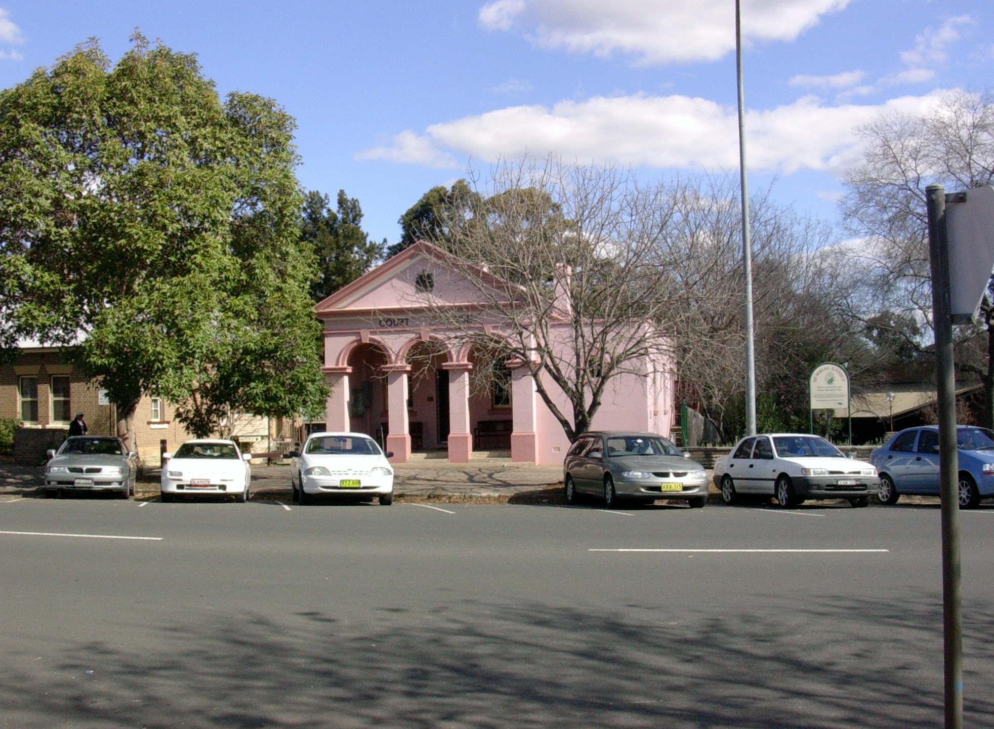
Goulburn is the first city along the Hume Highway from Sydney. It is a farming and admnistration centre, and from this area comes some of the world's finest wool. Goulburn was bypassed in 1992 and the main street (Auburn Street) is quieter, but still busy during Saturday morning shopping. Picturesque Belmore Park is located midway along Auburn Street. Near Belmore Park is located a number of architecturally and historically significant buildings, including the courthouse, the post office and the railway station. Also in central Goulburn are two cathedrals, both of architectural note. Near the railway station on Sloane Street is a number of old houses and hotels. 13 km south of Goulburn along the Hume Highway is the interchange with the Federal Highway which connects to Canberra and the Snowy Mountains.
Gunning
Gunning's 19th century main street was built very wide, for the time of horse and bullock-drawn wagons. This served the town well when the main highway between Sydney and Melbourne carried cars and trucks through the town, which ceased when the bypass was completed in 1994. It is now much quieter, and the town has been able to resume a more rural pace of life and to develop something of an industry in providing bed and breakfast accommodation.
Yass
Yass has an impressive and historic main street, with well-preserved 19th century verandah-post pubs (mostly converted to other uses}. It is popular with tourists, some from Canberra and others taking a break from the Hume Highway. Hamilton Hume's farm Cooma Cottage is located east of Yass, close to the intersection of the former routes of the Hume and Barton Highways. He lived there until his death in 1873.
Coolac
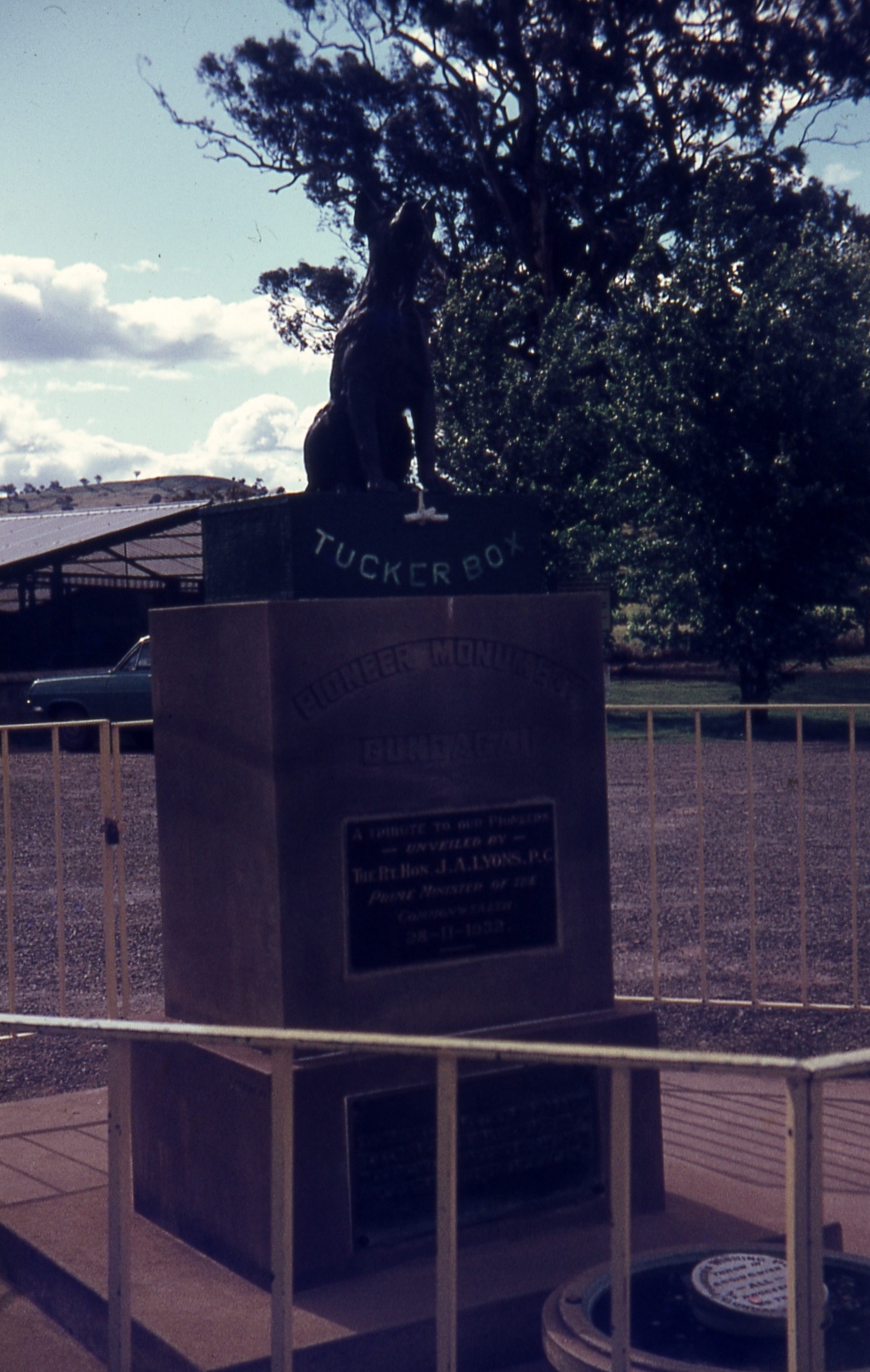
An earlier monument to the Dog on the Tuckerbox between Coolac and Gundagai, photographed in 1926The 11 kilometre section at Coolac is the last two lane section of highway between Sydney and Gundagai. Construction of the bypass is scheduled for completion in 2008.[10]
Gundagai
At Snake Gully, adjacent to the highway north of Gundagai is the "Dog on the Tuckerbox". A statue (with souvenir shop next door) was erected five miles (eight kilometres) from Gundagai. Snake Gully serves as a way station for many highway travellers.
The highway bypassed Gundagai in 1977 with the completion of the Sheahan Bridge over the Murrumbidgee River. The Alfred Bridge, on the old route of the highway across the Murrumbidgee floodplain, is of major engineering interest, as it is one of Australia's longest timber trestle bridges, as is the adjacent 1903 railway bridge. The Sheahan Bridge is the second longest bridge in NSW. Gundagai was originally located on the river flats directly beside the Murrumbidgee River, but a disastrous flood in 1852 destroyed the town and drowned 89 people. The town was then relocated to its present position.
On the way we would have stopped at the "Dog On The Tucker Box"
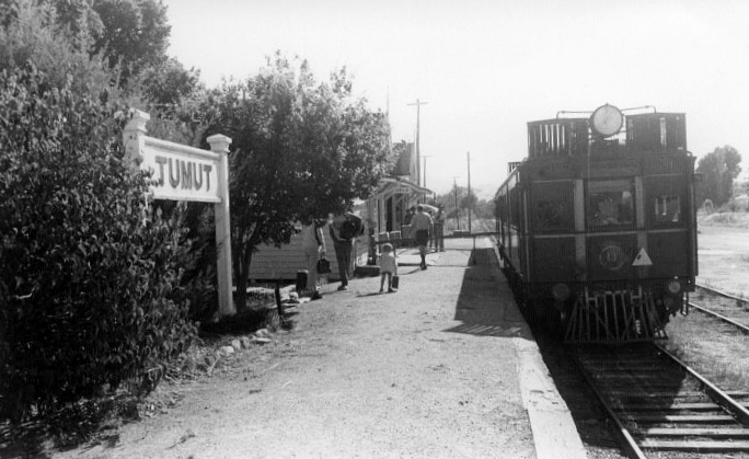
The family had made the trip to Blowering may times before, always by train
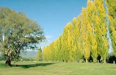
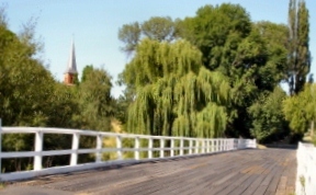
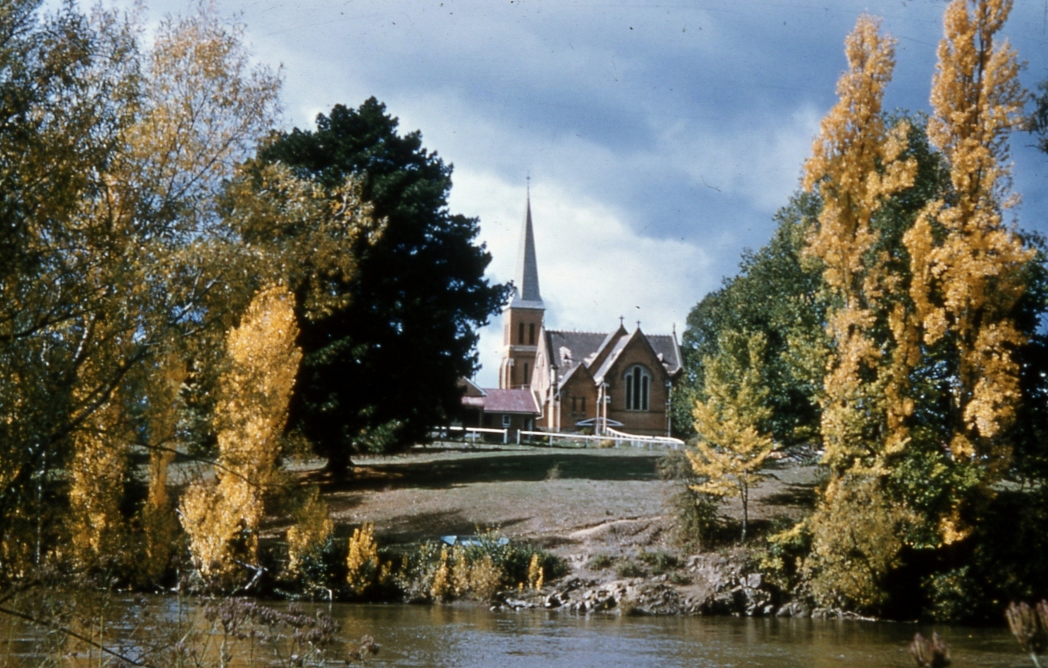
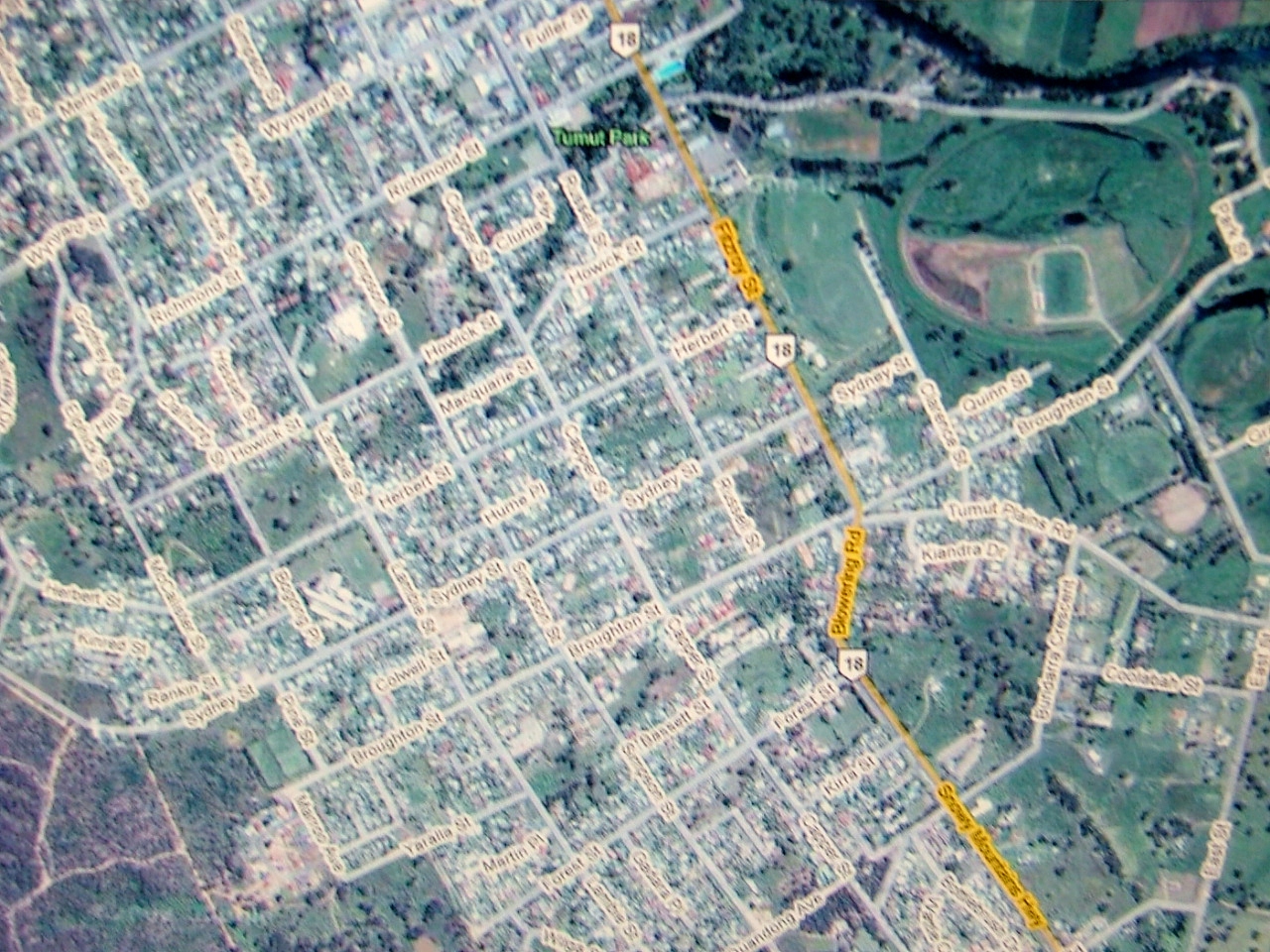
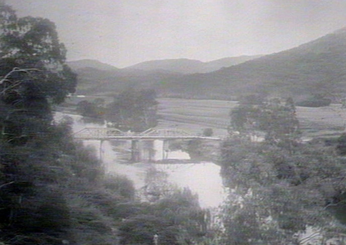
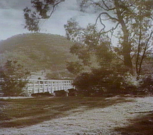
Tumut bridge
round the last bend and there was the Tumut River Bridge
Return to 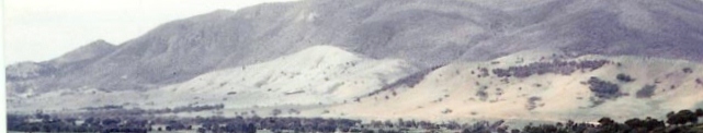 Kinloch
Forward to ![]() Lynette Stephenson
Lynette Stephenson
Forward to 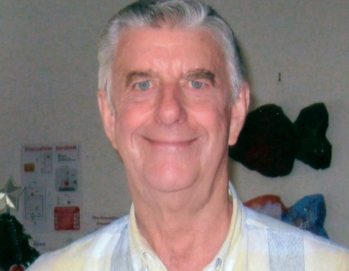 John Stephenson
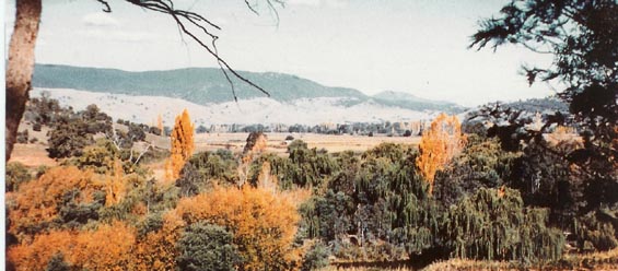
Return to ![]() West Blowering
West Blowering